


Description
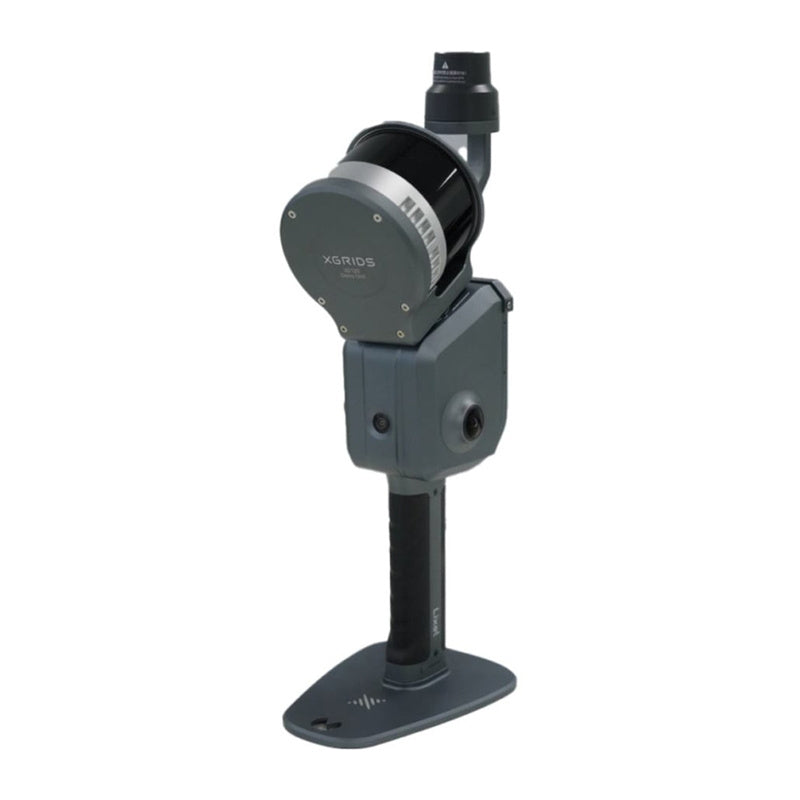
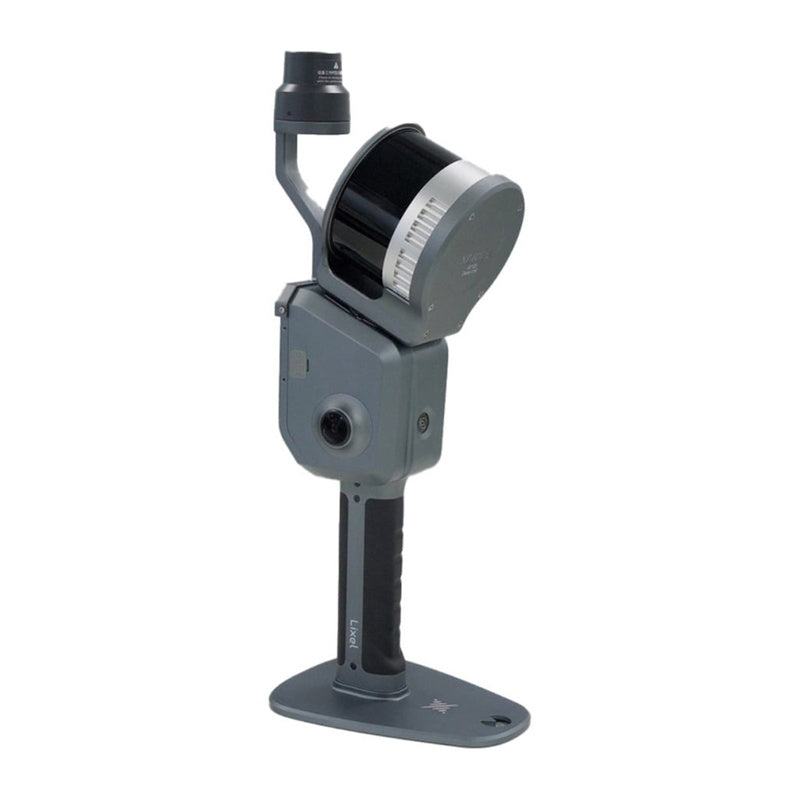
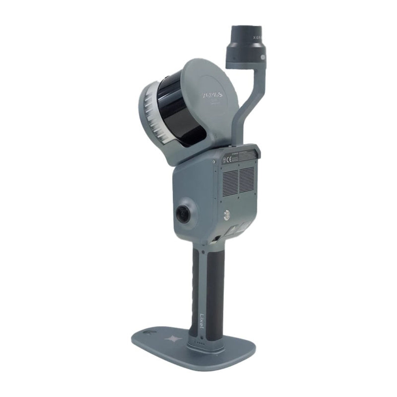
XGRIDS Lixel L2 Pro 16/120
The XGRIDS Lixel L2 Pro 16/120 is a compact, next-generation handheld 3D scanner that combines 360° lidar, 48 MP panoramic cameras and an IMU module into a single, intelligent device. Using SLAM and AI technologies, the scanner creates accurate and colorful 3D models in real time, without the need for further post-processing. It works with the Lixel GO application and Lixel Studio 3.0 and Lyxel Cyber Color software for advanced data processing and immersive 3D model creation. It's the perfect tool for field work where time, mobility and data precision matter.

Real colors, real data - no RTK or GPS
The L2 Pro provides accuracy of ±3 cm (without RTK) and generates a point data cloud with a density of up to 1 million points per m². Built-in cameras allow for realistic color reproduction, which works well for applications such as architecture, VR, surveying and construction inspection. Even without access to GPS - such as in tunnels, forests or interiors - the device maintains stable mapping thanks to its proprietary Multi-SLAM algorithm.

Advanced scanning technology with simple operation
The scanning process consists of four steps: lidar data registration, color mapping, position tracking (IMU) and instant processing. As a result, you can already see the progress and quality of the scan on the screen of your smartphone or tablet. The color point cloud is automatically saved in .las format - ready for further use without additional processing.

High accuracy and density of point clouds
Thanks to the patented LixelUpSample™ algorithm, the scanner generates point clouds with a resolution of 1 mm and a layer thickness of up to 0.5 cm. Measurement accuracy (RMSE) reaches 2 cm, and after processing with GCP/RTK - even 1 cm. The operating range reaches 120 meters, and the data recording speed is as high as 640,000 points per second.

Compact form, full functionality
Weighing only 1.6 kg, the XGRIDS L2 Pro 16/120 is ideal for mobile work. The built-in battery allows for 90 minutes of continuous operation, and data is stored on a 1TB internal SSD. The device has a USB 3.1 Gen2 interface, supports WiFi and Bluetooth, and is IP54-rated - enough for light rain or dust.

Included
- Lixel L2 Pro Handheld Scanner
- Lixel Studio Perpetual License (3 devices)
- Lixel L2 Pro battery pack
- Charger and Converter
- Type C cable
- GCP Points Collection Board
- Manual
- Warranty Card
- Cleaning cloth
- Case
General
| Manufacturer | XGRIDS |
|---|---|
| Product code | CZ01010027 |
| Weight | 1.7 kg |
| Size | 180 x 130 x 400 mm |
| Power consumption | <30W |
| Interface | USB 3.1 Gen2 |
| Memory | 1T SSD |
| Uptime | 1.5 h |
| Wireless connection | WiFi, Bluetooth |
| Operating temperature | -20°C ~50°C |
| Protection degree | IP54 |
Features
| Video positioning | Yes |
|---|---|
| Real-time RBG | Yes |
| Real-time RTK Fusion | Yes |
File Format
| Point Cloud | .forest .ply |
|---|---|
| Photo | .jpg |
Accuracy in Real Time
| Vertical (RMSE) | 3 cm |
|---|---|
| Horizontal (RMSE) | 3 m |
| Relative (RMSE) | 2 cm |
Accuracy after Processing
| Vertical (RMSE) | 3 cm |
|---|---|
| Absolute Horizontal | 3 cm |
| Relative (RMSE) | 1 cm |
| Repetitive (RMSE) | 2 cm |
| Thickness of the Point Cloud | 0.5 cm |
| Horizontal with RTK | 0.015° |
| Vertical | 0.03° |
| LixelUpSample | Yes |
LiDAR
| Operational range | 0.5m~120m; 0.5m~300m |
|---|---|
| LiDAR sensor | Class 1 / 905nm |
| Scanning frequency | 320,000 points/s; 640,000 points/s |
| FOV Sensor | 360° X 270° |
Camera Panoramic Photos
| Resolution | 2x48MP |
|---|---|
| Focal length | 2mm |
| Aperture | F/2.0 |
| CMOS | 1/2" |
| Shutter | Rolling Shutter |
| FOV | 190° x 190° |
Battery
| Voltage | 14.4V |
|---|---|
| Capacity | 46.8 Wh |
Charging
| Input | 100V~240V 50~60HZ 1.5A 80VA |
|---|---|
| Output | 16.8V 2.0A |
| Power | 34W |
You may also like
Recently viewed
Safe payment on our website